Alfred
Magehema
Economic Recovery Manager - Tanzania
DRC support communities to plant trees and support provision of alternative cooking energy sources to respectively, support reforestation and reduce the use of firewood for cooking to help in forest restoration.
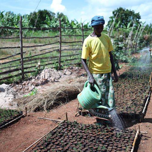
Globally, the influx of a concentrated number of people (such as refugees) in an area put substantial pressure on host communities and local natural resources to meet their needs such as firewood extraction, which is the primary cooking fuel, especially in the Kigoma Region in Tanzania. At present over 90% of households across the two refugee camps in the Kigoma Region use firewood for cooking which they collect from the forests within and around the refugee camps. The population density in the camps intensifies the scarcity of firewood causing over-exploitation of nearby forest resources resulting in a high deficiency in supply. Moreover, a third camp, Mtendeli which was closed in 2021 caused an increase in refugees and additional pressure on natural resources in Nduta camp where refugees from Mtendeli were relocated to. The impact and effects of climate change have had a considerable impact on rivers, and water catchment areas, and intensified deforestation, which is further perpetuated by the increase in the regional population. As an effort to curb deforestation, DRC and the government of Tanzania have been planting trees and conserving the remaining natural forests as part of forest restoration and protection in the Kigoma Region. However, prior to this project, the only way to conduct forest cover monitoring was through direct on-site field observation.
To switch away from traditional forest monitoring of direct observation visits to forests/woodlot sites which is a time-consuming and inefficient approach, DRC in partnership with the ARICA research consortia (including NORCE - Norwegian Research Centre on Climate and Environment, UNEP-GRID, etc.), and in collaboration with government officials in Kibondo, Kakonko, and Kasulu districts are piloting a new GIS-based digital technique for forest monitoring using satellite imagery that is more efficient and accurate. With technical support from the ARICA consortia, DRC is training and equipping the government
of Tanzania and Burundi Forestry officers to set up an assessment of forest temporal trends in the Kigoma region (particularly in the refugee camps and peripheries) and at least one area of return in Burundi. The use of a GIS-based system approach to forest cover monitoring would allow DRC and the ARICA consortia to analyze and understand the socio-economic drivers of forest degradation and deforestation and provide solutions for better forest cover monitoring including the use of a data-based approach to sites identification for forest restoration through tree planting for better tree seedling growth and performance.
Alfred
Magehema
Economic Recovery Manager - Tanzania
George Phabian
Kabado
Economic Recovery Team Leader - Tanzania
Basma
Khorsheed
Area Manager - Burundi